City Parks
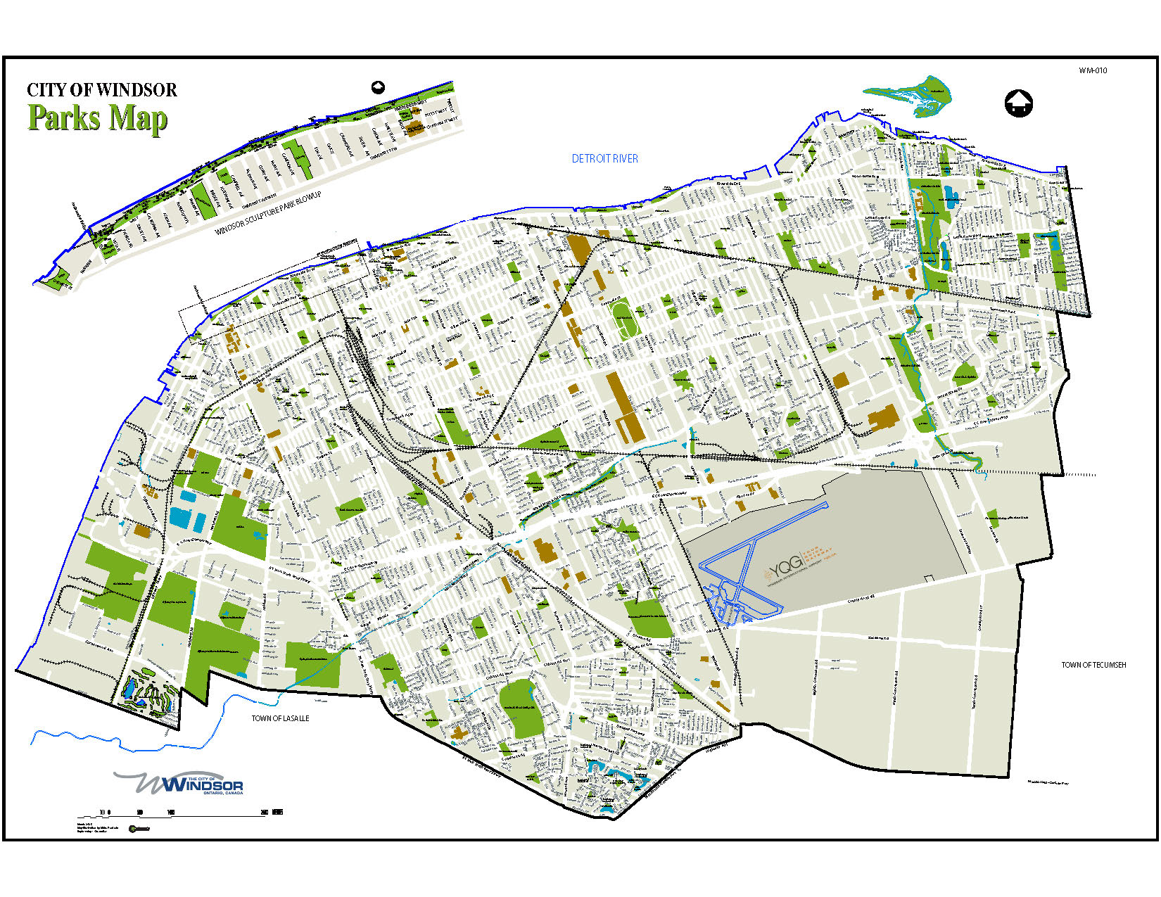
City of Windsor Parks Map

View: City of Windsor Parks Map
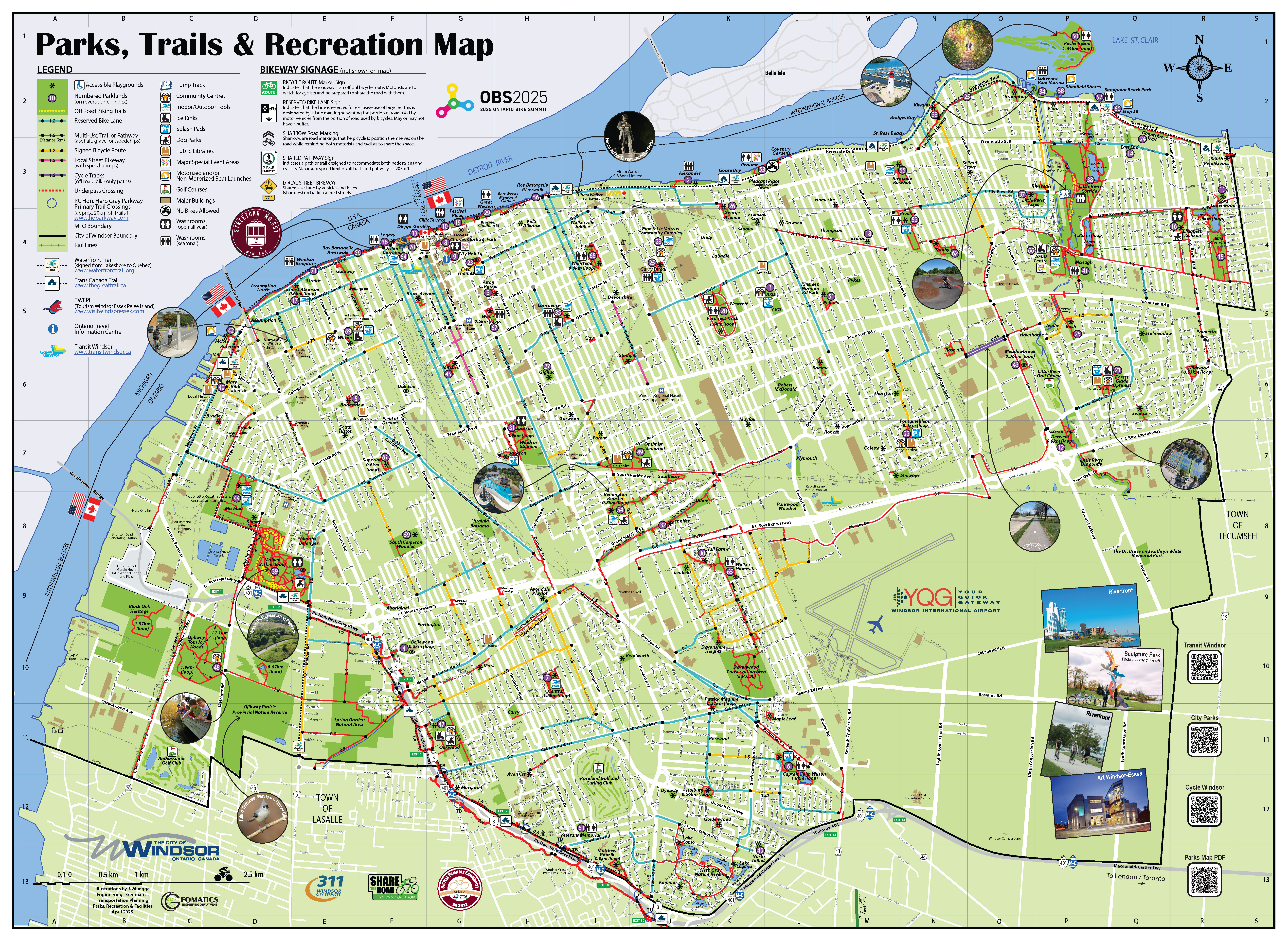
Parks, Trails and Recreation Map

View: Parks, Trails & Recreation Map (Index Only)
View: Parks, Trails & Recreation Map (Map Only)
WM-009, Parks and Forestry Services has created a map showing accessible playgrounds, parklands, existing bike lanes, multi-use recreational trails, signed routes, cycle tracks, Herb Gray Parkway primary trail crossings, waterfront trail, Trans Canada Trail, pump track, off-road biking trails, community centres, indoor/outdoor pools, ice rinks, splash pads, dog parks, public libraries, major special event areas, motorized and non-motorized boat launches, golf courses and public washrooms locations.
A free glossy map with index can be obtained in a number of city locations, including community centres.
